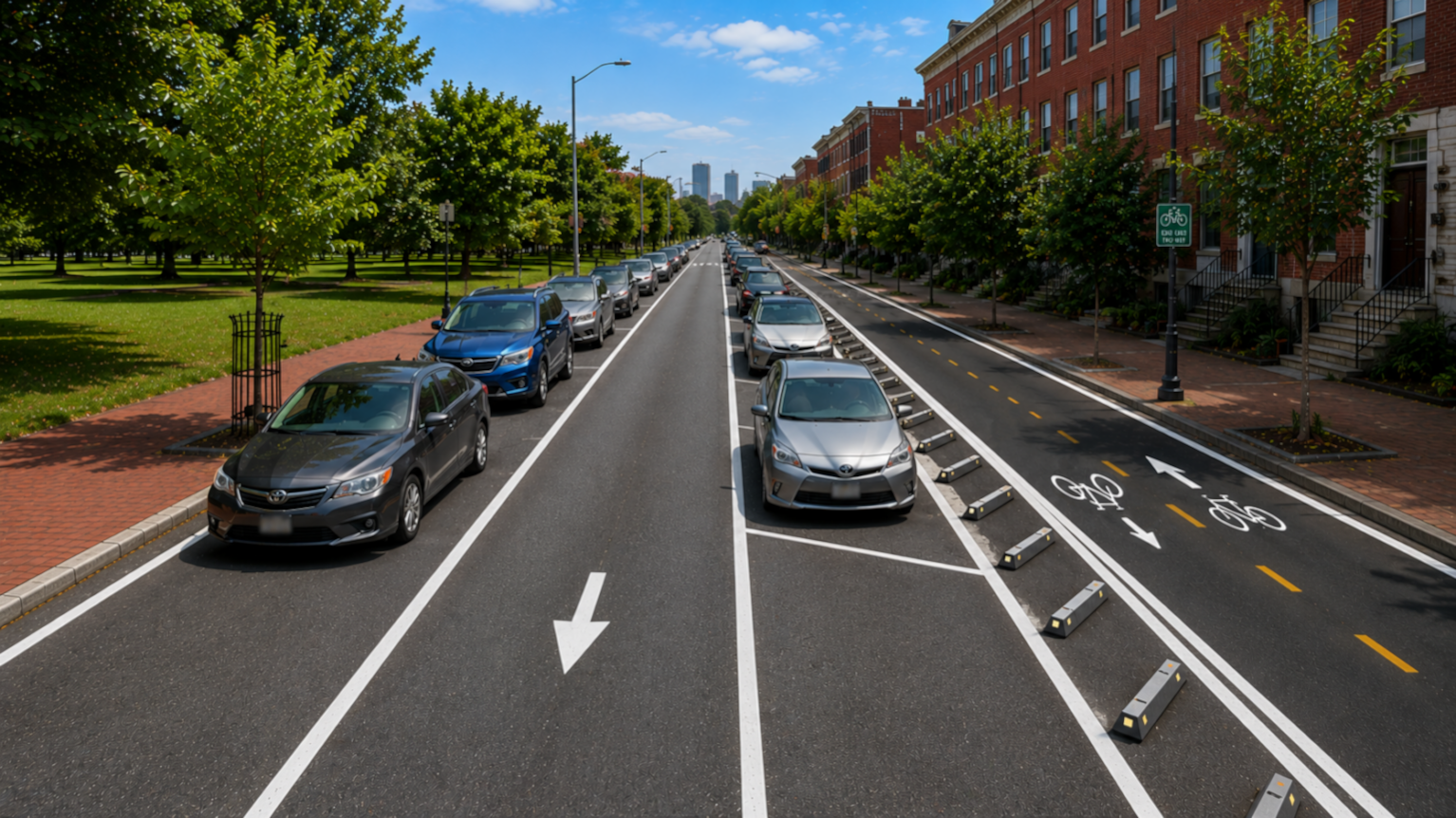
How would two neighborhood be impacted by a bike lane?
What might the street look like?
This project explores the motivations and possibilities of changing just one lane.
Here’s a brief summary of the project process.
Research started with personal observation on traffic patterns of the street in question. Research continued to gathering state and city information on the usage and safety of the section of road.
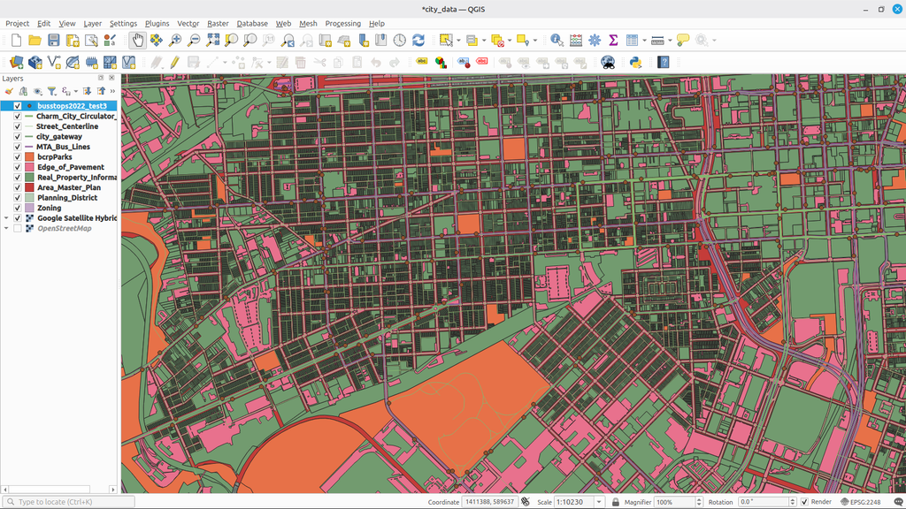
Investigation led to learning the basics of GIS software (Open-Source QGIS) in order to access city-provided GIS data on everything from bus stops to property boundaries.
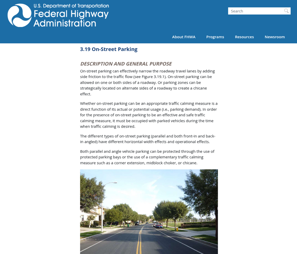
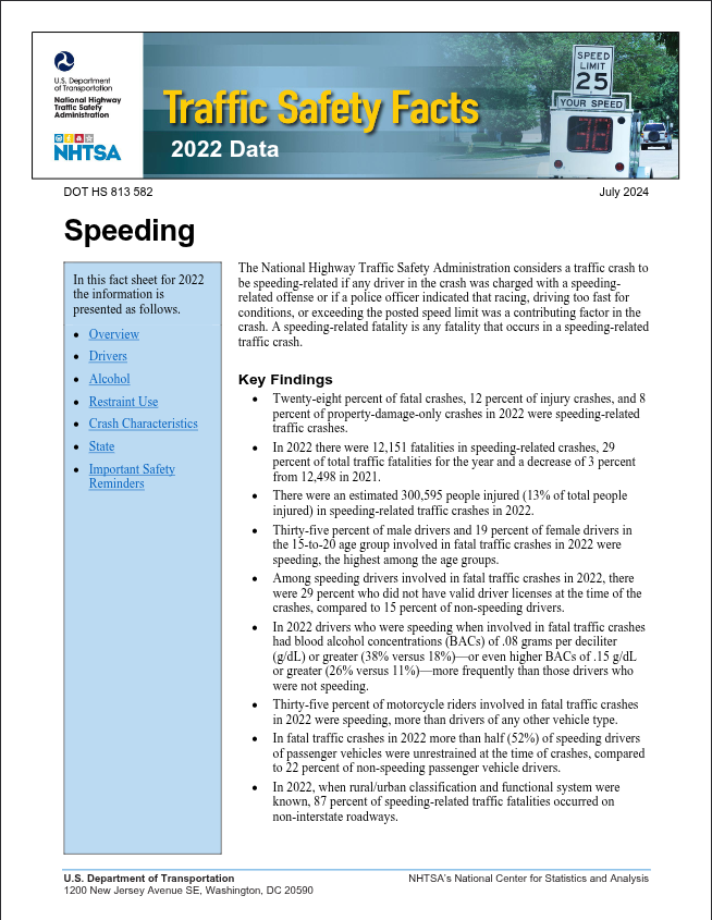
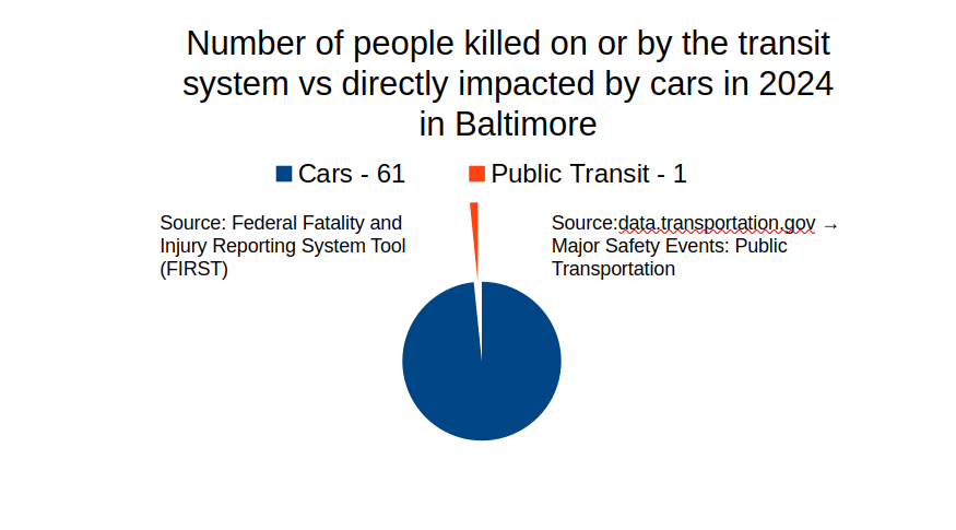
National-level reports and data were used to establish patterns found in state and local sources.